
CaddieScan
Digital Intelligence for Golf Courses
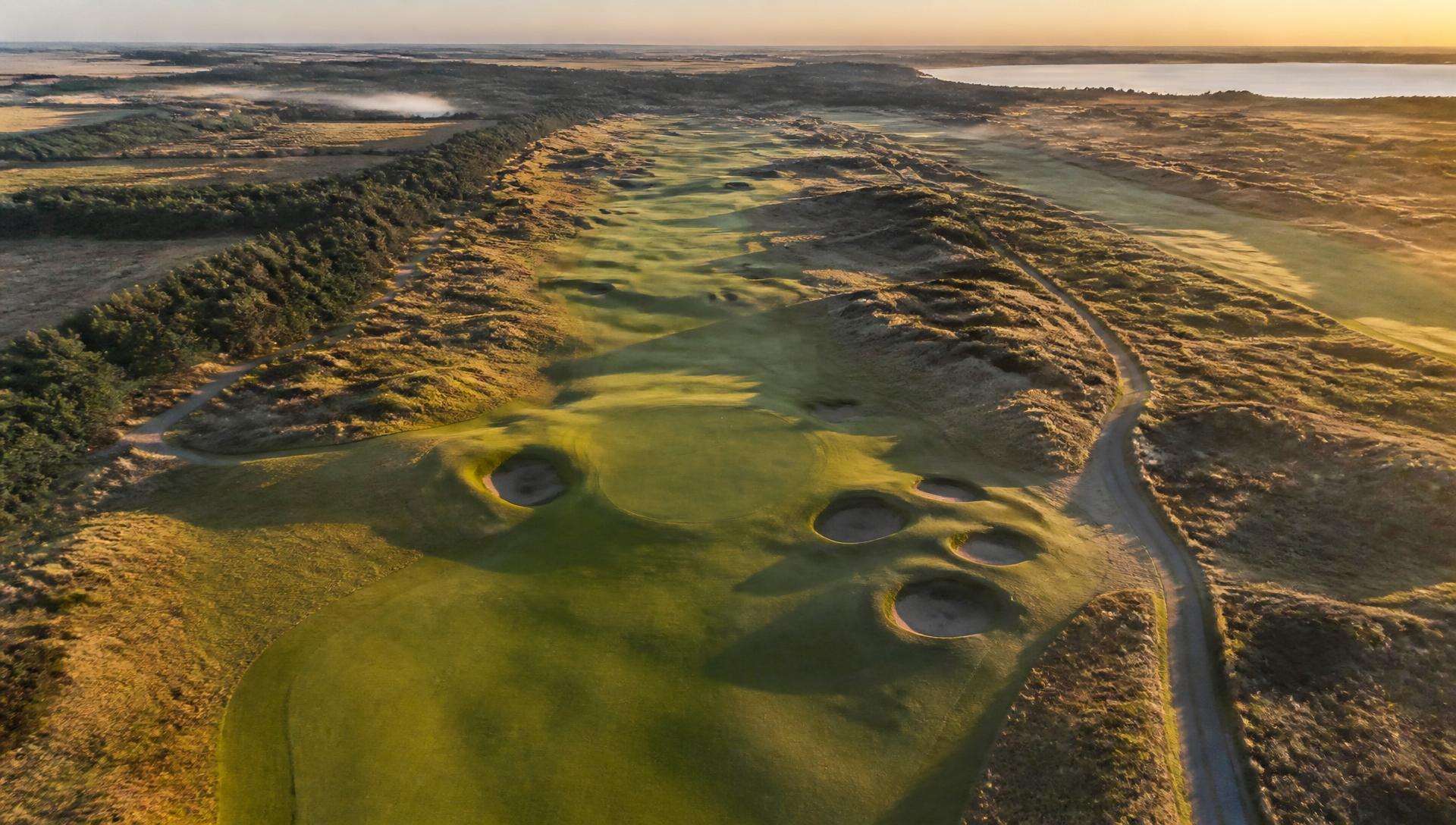
Drone surveys, agronomy analysis and drainage intelligence, delivered through a high-fidelity, interactive 3D model of your actual course.
- Survey-grade
- Ground control points on every flight
- Full course
- 18 holes captured in a single visit
- Any browser
- Streaming 3D, no software to install
What we do
One survey, seven ways to understand your course.
Core Surveys
Course Topography
See your course in a new dimension.
Every contour, undulation and elevation change captured with millimetre precision from above. Our photogrammetric surveys transform your course into a living, interactive 3D model, giving clubs an unprecedented understanding of their land. From tee to green, nothing is left unseen.
Drainage Surveys
Know where the water goes before it becomes a problem.
Waterlogged fairways and saturated greens cost clubs time, money and reputation. CaddieScan's drainage surveys overlay precise topographic data with surface flow analysis, giving greenkeepers and course managers the intelligence to act rather than react. Identify problem areas, plan interventions and protect playing surfaces before the season demands it.
Agronomy Insights
The data your turf has always been trying to tell you.
Healthy turf is the foundation of a great course. CaddieScan combines aerial capture with agronomic analysis to reveal stress patterns, coverage variations and growth anomalies that are invisible to the naked eye. Arm your greenkeeping team with the insights needed to make smarter decisions, reduce inputs and deliver surfaces your members will notice.
Event Planning
Plan with confidence. Deliver with precision.
Whether you're hosting a club championship, a pro-am or a corporate day, the pressure to deliver is significant. CaddieScan's 3D course viewer gives event planners, sponsors and stakeholders an immersive tool to visualise spectator flow, hospitality placement and signage positioning, long before a single stake goes in the ground.
Specialist Services
Seasonal Monitoring
Know how your course is changing, not just how it looks today.
A single survey is a snapshot. CaddieScan's seasonal monitoring re-flights your course at regular intervals and overlays each survey against the last, so you can see exactly where turf stress is spreading, where drainage patterns are shifting, and where erosion is creeping in before it becomes a budget line. It's built for greenkeeping teams who need to track change, not just capture a moment.
Renovation & Earthworks
Survey-grade data for the architects reshaping your course.
Before ground is broken on a bunker rebuild, green reconstruction, or wider redesign, course architects and contractors need to know exactly how much material moves, and where. CaddieScan's photogrammetric surveys deliver precise cut-and-fill volume calculations directly from the same data used for your course model, giving renovation teams a reliable baseline from day one of planning.
Tree & Canopy Inventory
Every tree on your course, mapped and measured.
Heritage parkland courses carry decades of tree cover that shapes strategy, safety, and character, and needs managing. CaddieScan's aerial capture produces a full canopy height inventory across your course, supporting arboriculture planning, biodiversity reporting, and insurance documentation, all derived from the same flight as your course survey.
The 3D course viewer
Not a renderer. Your course, as it actually is.
We fly your course with a UAV, process the imagery photogrammetrically with ground control, and publish a tiled 3D model that streams at full resolution in any browser, for members, committees, designers and event teams.
Explore a live course in 3D- CaptureOblique UAV flight patterns with surveyed ground control points.
- ProcessPhotogrammetric reconstruction into a georeferenced 3D tileset.
- PublishStreamed to your website, member app or event microsite.
Proof
Case studies coming soon
We're currently capturing our first partner clubs. Results, before-and-after imagery and club testimonials will be published here as each project completes.
Become a partner club